Planning and GIS
Decision Support Tools – Project Gallery

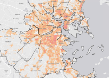
New Bedford Places That Matter
The Waterfront Area Historic League (WHALE), the Trust for Public Land, the Island Foundation, and 1772 Foundation have created an interactive map of the Places that Matter to the people of New Bedford. We have worked with community members to identify noteworthy cultural assets, such as historic buildings, parks, and open space opportunities. The Decision Support Tool helps stakeholders and community members identify sites and make informed decisions for preservation, conservation and recreation planning.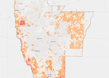
Metro Denver Nature Alliance (mDNA)
Metro Denver Nature Alliance (MetroDNA) is an emerging alliance of organizations with a compelling vision: Within one generation, the Metro Denver area will be a thriving place for both people and nature.
Climate-Smart Cities – New Orleans
Our Climate-Smart Cities™ process bring together a team of experts to research, design, and build the infrastructure and tools that help increase our resilience to climate change.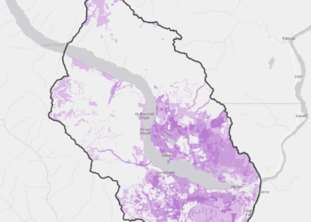
Lake Chelan Greenprint
Our Climate-Smart Cities™ process bring together a team of experts to research, design, and build the infrastructure and tools that help increase our resilience to climate change.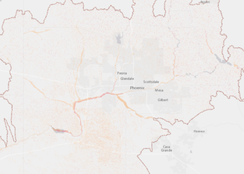
Central Arizona Conservation Alliance
Through community engagement, collaboration, and strategic regional coordination, CAZCA works to ensure a sustainable regional preserve system that supports healthy ecosystems and healthy communities.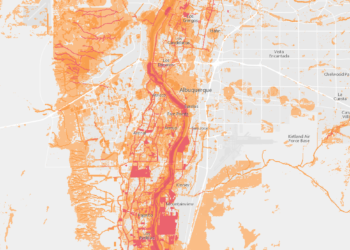
Bernalillo County Greenprint
The Bernalillo County Greenprint is a community driven conservation plan managed by The Trust for Public Land and Bernalillo County Parks and Open Space. The purpose of the Greenprint is to guide where mill levy funds should be spent to acquire new open space in Bernalillo County.
Western Pennsylvania Business Plan
The Western Pennsylvania Restoration Plan is a comprehensive strategy to guide investment that will improve and protect critical aquatic and forest habitat in Pennsylvania’s western counties.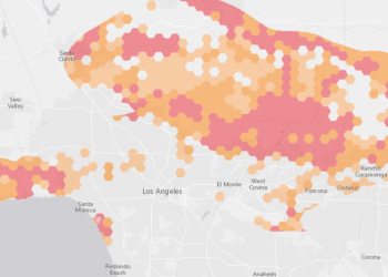
Sustainable San Gabriels
The San Gabriel Mountains and Foothills are the lungs of Los Angeles County, cleaning our air, filtering our water, and providing a close to home place for Angelenos to experience the rugged wilderness. The Trust for Public Land is working to keep these mountains and foothills safe from development and open for everyone to enjoy.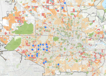
Houston SPARK School Park Evaluation
The Trust for Public Land, with funding from the Houston Endowment, has worked through the “SPARK School Park 2014 Evaluation” project to assess the impact of SPARK Parks and develop best practices for schoolyard joint use projects.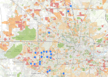
Harris County ParkServe™ Analysis Portal
The Trust for Public Land ParkServe™ analysis looks at public access to existing parks and open space within Harris County.