Planning and GIS
Greenprint – Project Gallery
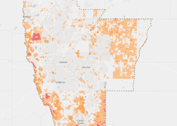
Bernalillo County Greenprint
The Bernalillo County Greenprint is a community driven conservation plan managed by The Trust for Public Land and Bernalillo County Parks and Open Space. The purpose of the Greenprint is to guide where mill levy funds should be spent to acquire new open space in Bernalillo County.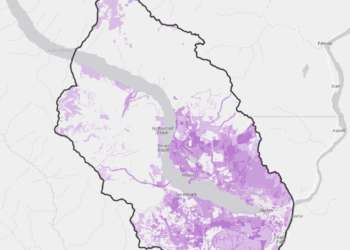
Lake Chelan Greenprint
Lake Chelan Greenprint is a community driven conservation plan focused on protecting and enhancing the regions diverse resources.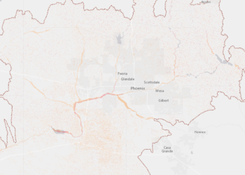
Central Arizona Conservation Alliance
Central Arizona Conservation Alliance