Natural Solutions Tool
GREATER CHICAGO
A Watershed Approach
Natural Solutions Tool Overview a project of the Greater Chicago Watershed Alliance
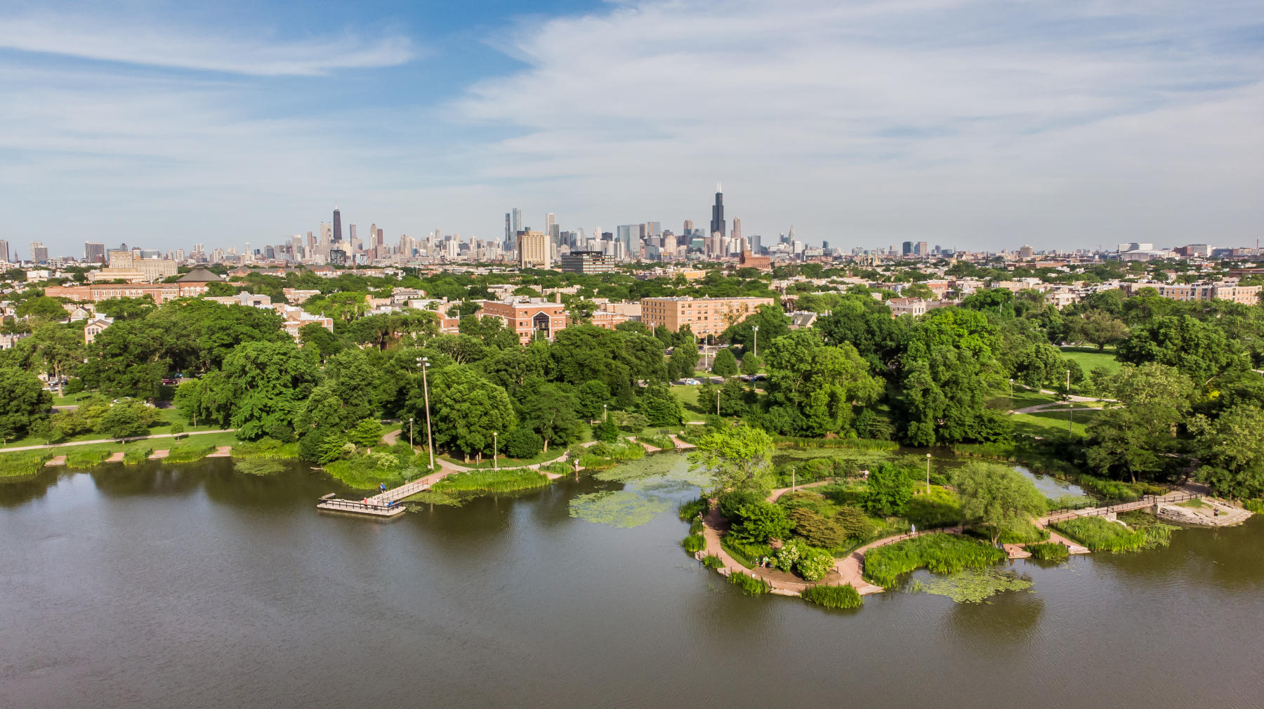
Discover new ways to harness the power of nature to achieve multiple social, environmental, and economic benefits with the Natural Solutions Tool. The tool is a robust parcel prioritization map that anyone can use to explore and collect data about sites within Chicago-area watersheds. The tool’s parcel data is an excellent resource for driving funding of green infrastructure to communities of the greatest need.
The concept for the Tool emerged from a vision for more strategic and collaborative watershed-wide investments in nature-based solutions set by the Greater Chicago Watershed Alliance, and was created and is managed by Friends of the Chicago River’s planning team and the Trust for Public Land, guided by dozens of local expert contributors. Thank you to those who continue to provide their expertise and input as part of the ongoing management of the Tool.
Using mapped data to identify the best locations for green infrastructure expansion and improvement, the tool allows users to visualize and collect data at many scales, and reveals potential solutions to address complex environmental challenges.
The Watershed Alliance welcomes everyone to explore and employ this new resource and connect with us for training, technical assistance, and joint-project opportunities. Please use the Comment Form to send us an email!


Modeling Objectives
Greater Chicago Watershed Alliance Partners

Friends of the Chicago River
Visit Friends of the Chicago River’s website to learn more about the work of the Greater Chicago Watershed Alliance and our priorities to mobilize the co-benefits of nature-based solutions.
Trust for Public Land (TPL) – Illinois
In Illinois and across the country, TPL is working with communities and advocates to connect more people in more places to the outdoors. Visit our website to learn more.